Flying Around Maine
August 11, 2001
Alternative views: Large Slide Show, Slide Show
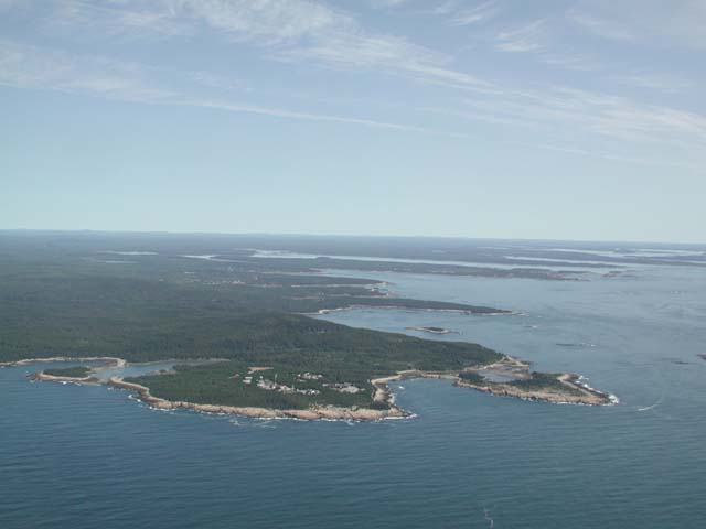
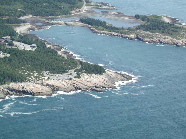
Schoodic Point
Tourists at Schoodic Point
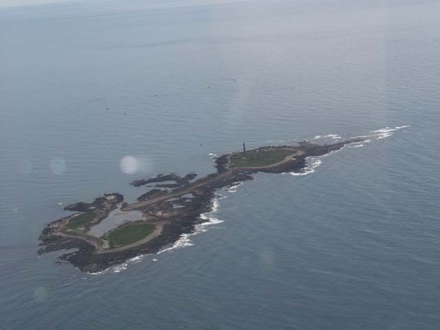
Lighthouse on Petit Manan Island
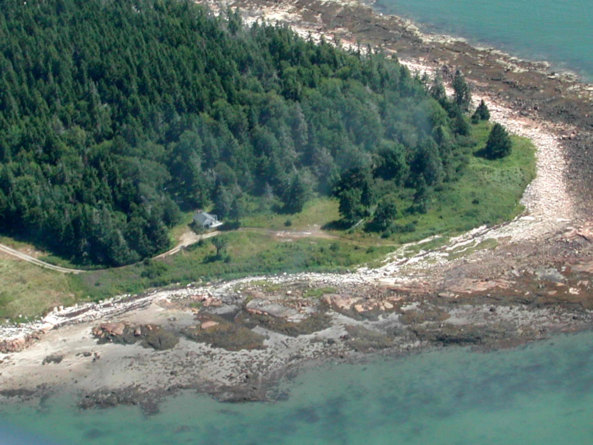
Brace's camp on Tom Leighton Point
(Click on Image for Higher-Res Version)
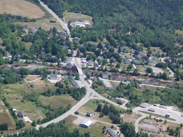
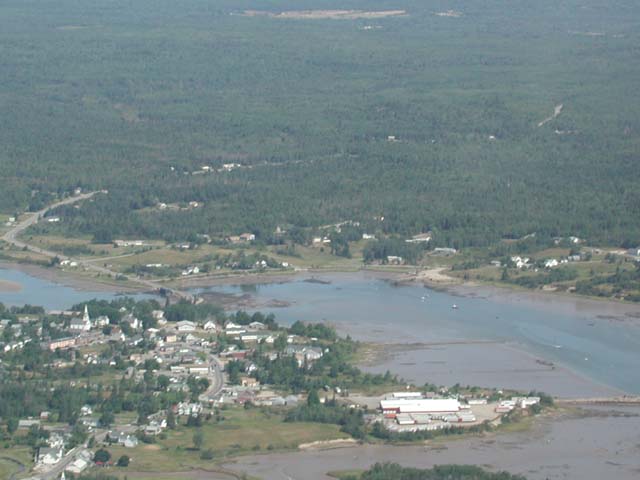
Milbridge
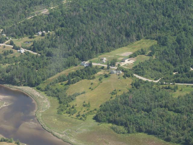
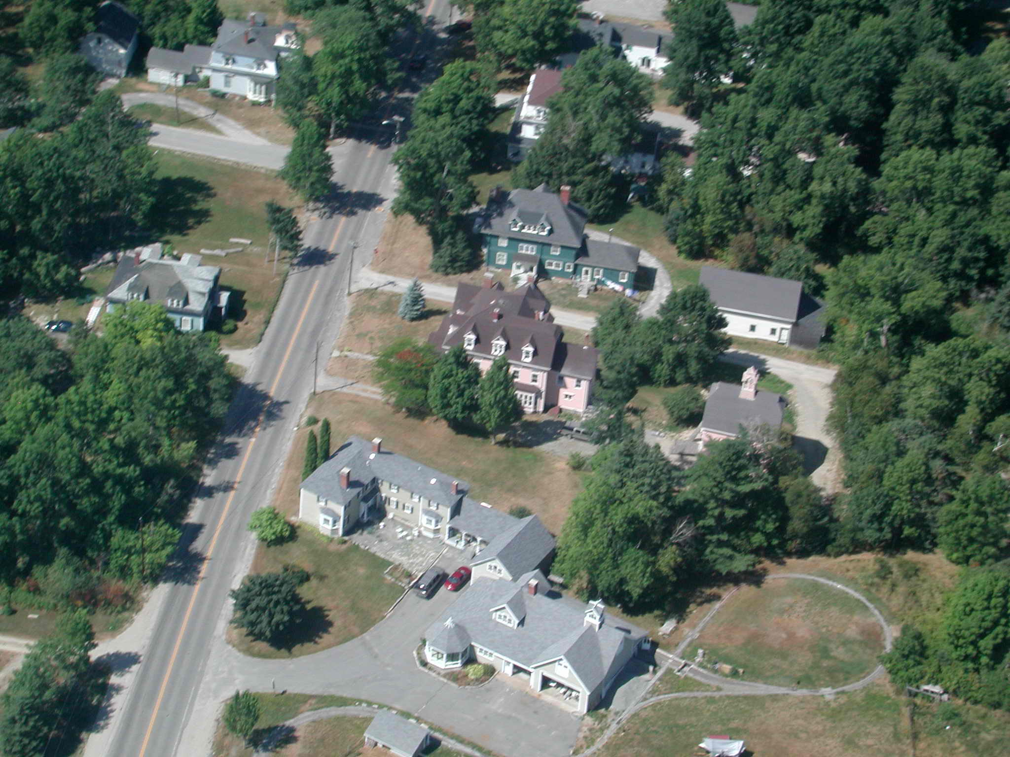
Bruce and Kathy's House
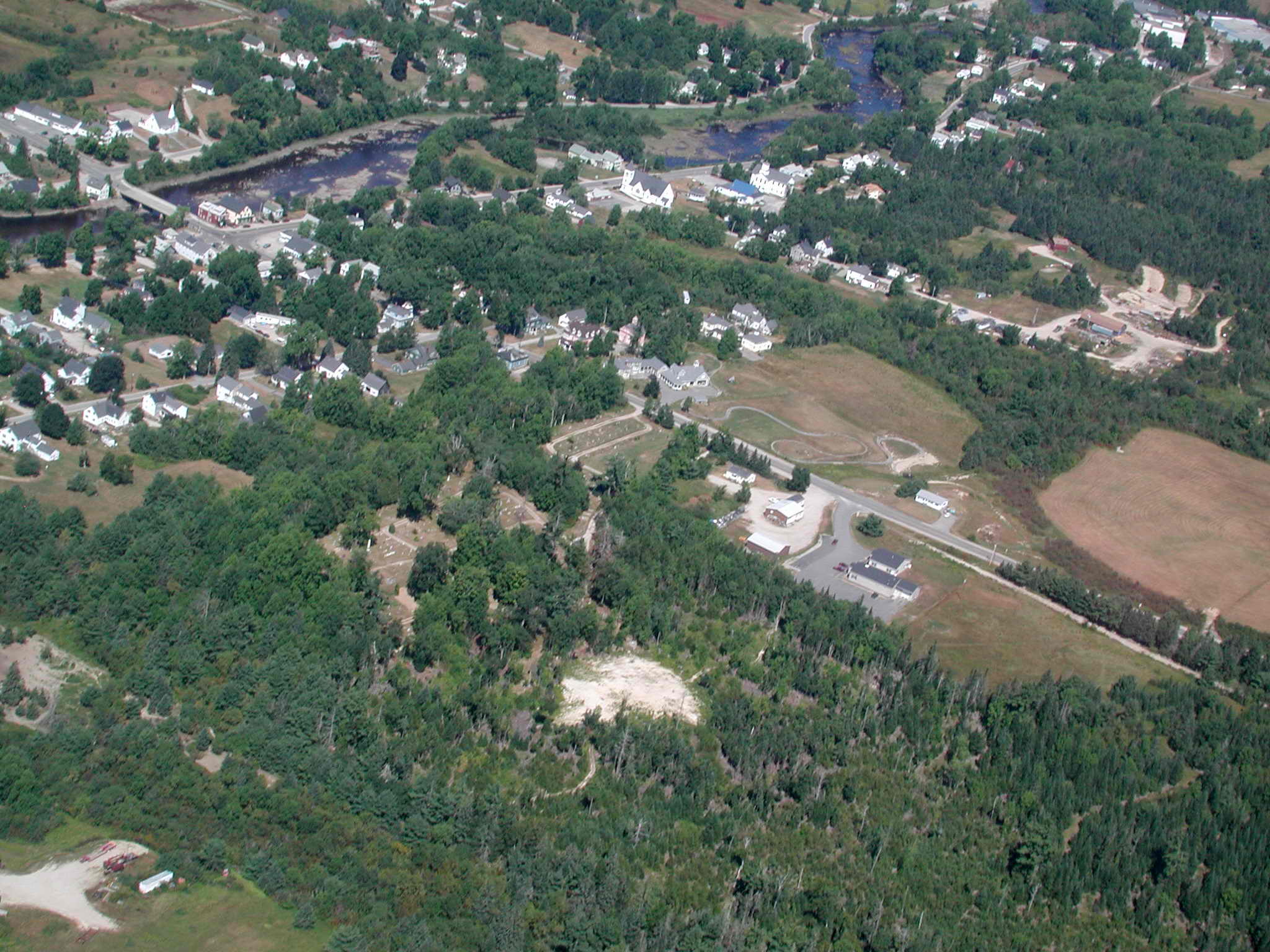
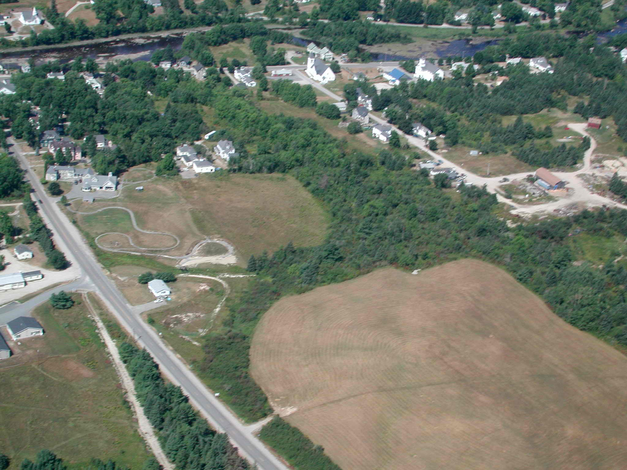
Cherryfield (looking NW our house is almost center)
(Click on Image for Higher-Res Version)
Cherryfield (John Brace's Railroad)
(Click on Image for Higher-Res Version)
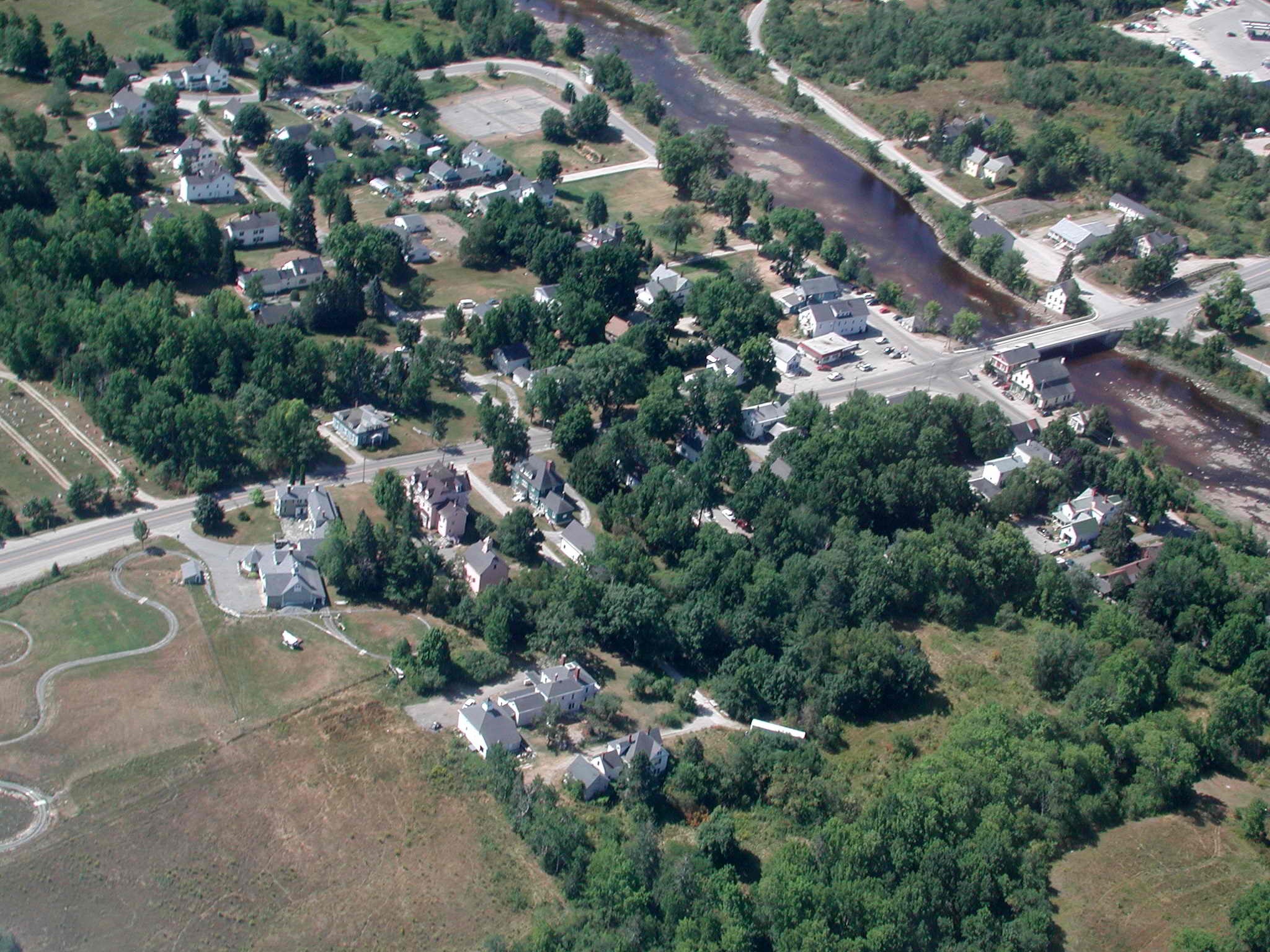
Cherryfield (looking SW)
(Click on Image for Higher-Res Version)
Cherryfield (looking SE)
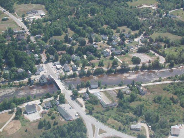
Cherryfield (looking NE)
Campbell Hill
(Click on Image for Higher-Res Version)
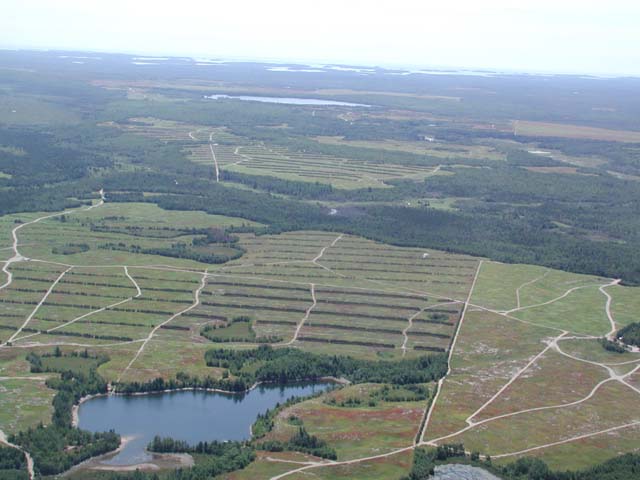
Blueberry barerns and Schoodic Lake (looking NW)
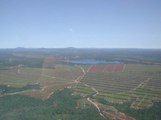
Looking back SW (Schoodic Lake is in the distance)
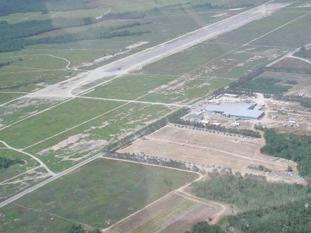
Airstrip at Deblois and blueberry factory
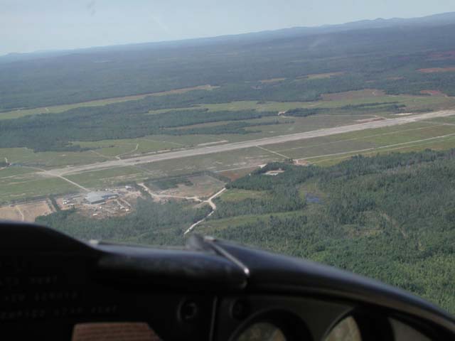
Blueberry raker's camps, factory, Deblois Airstrip
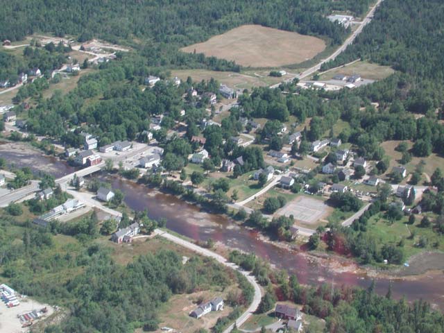
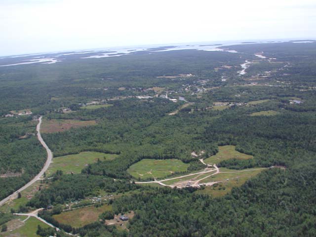
Route 193 going South to Cherryfield
Cherryfield (looking East)